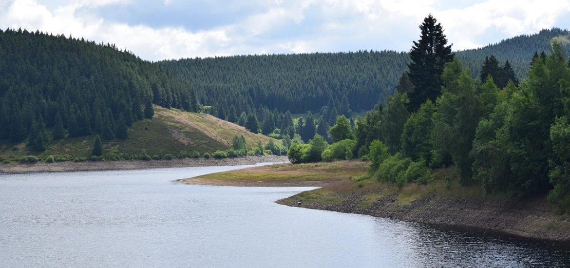
Demolition of a dam on the Leitzaran River in Spain slowly increased the mobilisation of pebbles, helping the river return to its original shape, according to a study published in Geomorphology.
To follow European Union policies, dams that are no longer used are being dismantled to restore the river and its habitats. One example is the Olloki dam (Gipuzkoa) on the Leitzaran River, which was demolished to improve the salmon habitat. However, this is not just a matter of demolishing the dam. For the river to revert back to its original function and for the habitats to be in good condition, the river’s geomorphology has to function correctly.
Among other things, it’s crucial to renew the riverbed, which means the transport of sediments and water flows must be adequate: “Rivers are a transport system, and if they are to fulfill their ecological function, they need to move water, sediments, nutrients, and living beings. But it is the dams themselves that create obstacles. We say they are like blood clots that form in veins,” explained Askoa Ibisate from the University of the Basque Country (UPV/EHU).
To confirm that the dam was removed effectively, the team at UPV/EHU analysed how the demolition affected the movement of sediments on the river bed. “We knew the river would recover but didn’t know how. Nor in what way different points of the river would be affected. So we measured the movement of the pebbles in three specific locations, before, during, and after the demolition of the dam,” said Ibisate.
The river was initially scanned over 11 kilometres from bank to bank, then monitored over seven years. “Normally, due to lack of funding, monitoring is carried out for 1-2 years before and shortly after the dam has been demolished. By contrast, we deposited the first stones in 2016, and over the following six years, we were able to see how far they had got. Meanwhile, during the summers of 2018 and 2019, the wall was demolished in two phases, and subsequently, we monitored the movement of the sediments until 2022. So, we had the opportunity to collect information for three full years after the entire dam had been demolished. It is a very long period of time, and so, the results are significant,” Ibisate added.
During this period, 1,800 stones (300 each year) were released at three points in the river: one upstream and one downstream of the dam and one at a control site outside the dam’s influence. “The control point enabled us to discover that the changes in the transport of sediments caused by the demolition of the dam were actually due to the demolition itself and not to other factors, such as, for example, a significant increase,” Ibisate said. To follow the stones, they had a code embedded inside them. To find out how much sediment had moved, the team used a detector (similar to a metal detector) along the river. “When the device detects a code, it informs us which stone it is and gives us the GPS coordinates. So we know where we released it, where it has appeared and, therefore, how far it has travelled,” explained Ibisate.
The results showed a significant increase in the number of stones that moved, especially after the dam was completely demolished, but this was a gradual process. “When it comes to demolishing dams, one of the fears is that the sediment accumulated over the years will suddenly be displaced like a wave and, as a result, the uses and infrastructure located on the flood plain downstream will be damaged. What we have, in fact, seen is that the process is regulated, and the stones are transported gradually.”
The authors believe the study provides information that could be very helpful to the authorities when planning future dam demolitions. Although each case has its own specific characteristics, these results help to better understand the functioning of rivers and the sediment flow regime during dam removal.
A Ibisate, H García, D Vázquez-Tarrío, I Sánchez Pinto, X Herrero, A Sáenz de Olazagoitia, A Ollero (2025) Bedload response to dam removal: Results from a 6-year particle tracking survey in the Leitzaran River (Basque Country). Geomorphology, 470: 109542 https://doi.org/10.1016/j.geomorph.2024.109542